Pakistan has successfully launched its latest remote-sensing satellite, PRSS-II, on July 31, 2025, from the Xichang Satellite Launch Centre in China, according to the Space and Upper Atmosphere Research Commission (SUPARCO).
The satellite is designed to strengthen the country’s capabilities in disaster management, urban planning, water monitoring, agriculture, climate observation, and forest protection.
The remote-sensing satellite will enhance Pakistan’s disaster response by quickly mapping damage after natural calamities such as floods or earthquakes. This capability will help authorities plan immediate relief efforts and support efficient recovery operations.
Disaster Management and Rapid Response
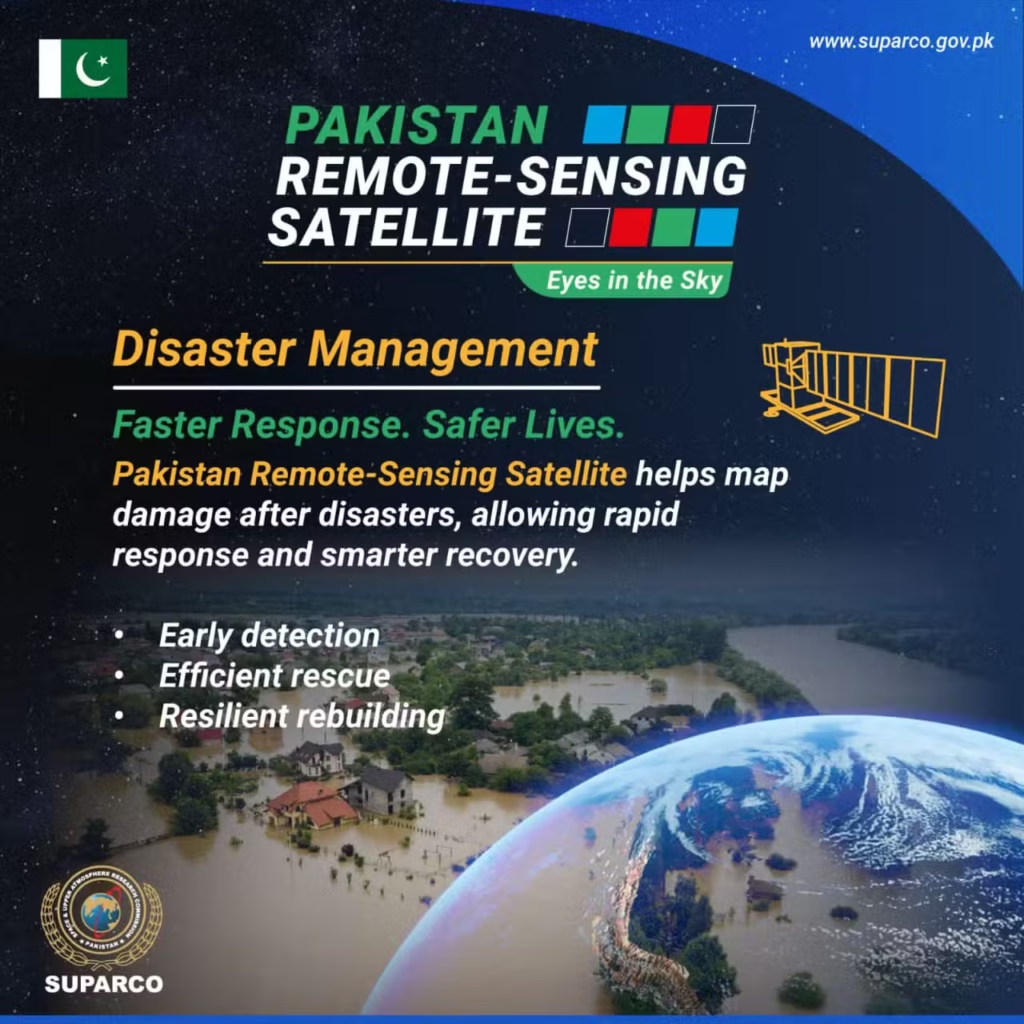
The remote-sensing satellite will enhance Pakistan’s disaster response by quickly mapping damage after natural calamities such as floods or earthquakes. This capability will help authorities plan immediate relief efforts and support efficient recovery operations.
Urban Planning and Infrastructure Monitoring
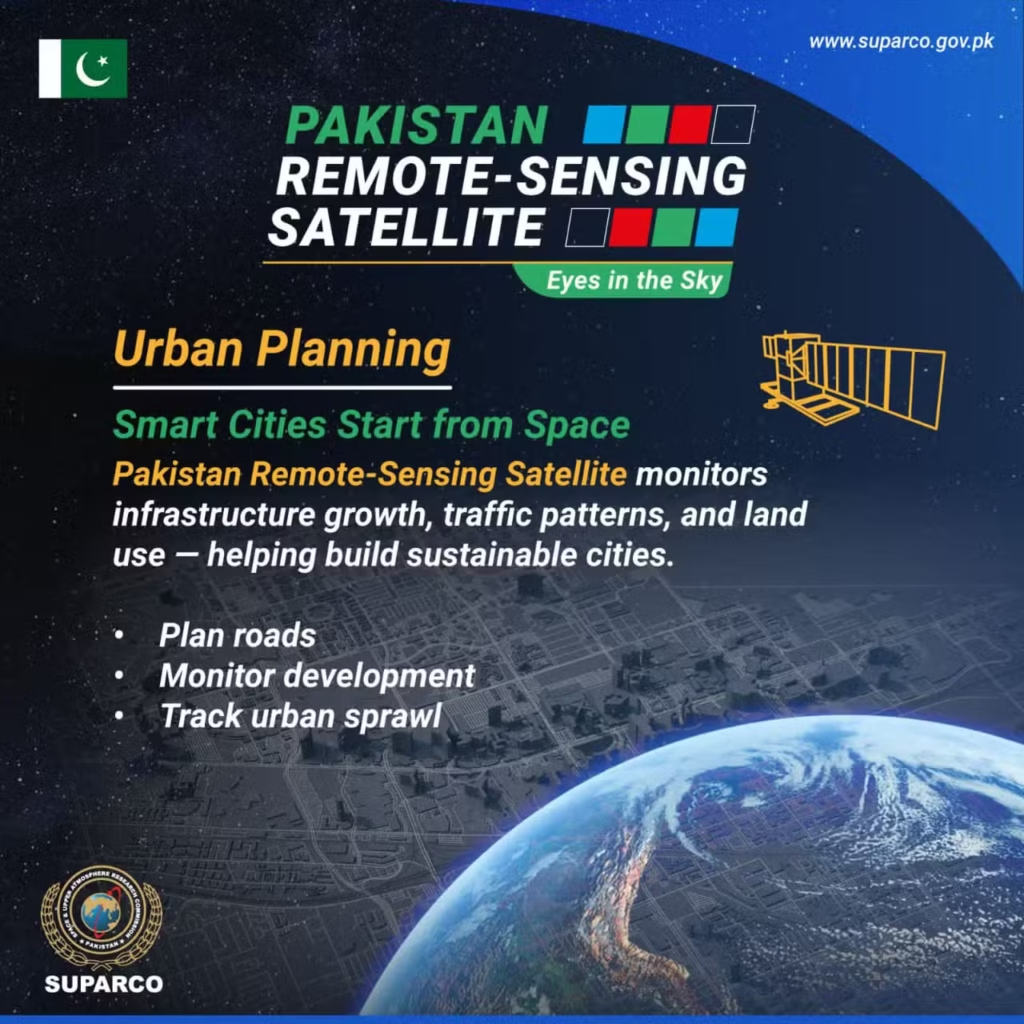
The satellite provides data for monitoring land use, infrastructure development, and traffic patterns. It will assist city planners in designing sustainable urban environments, planning road networks, and tracking urban expansion.
Water Resource Management
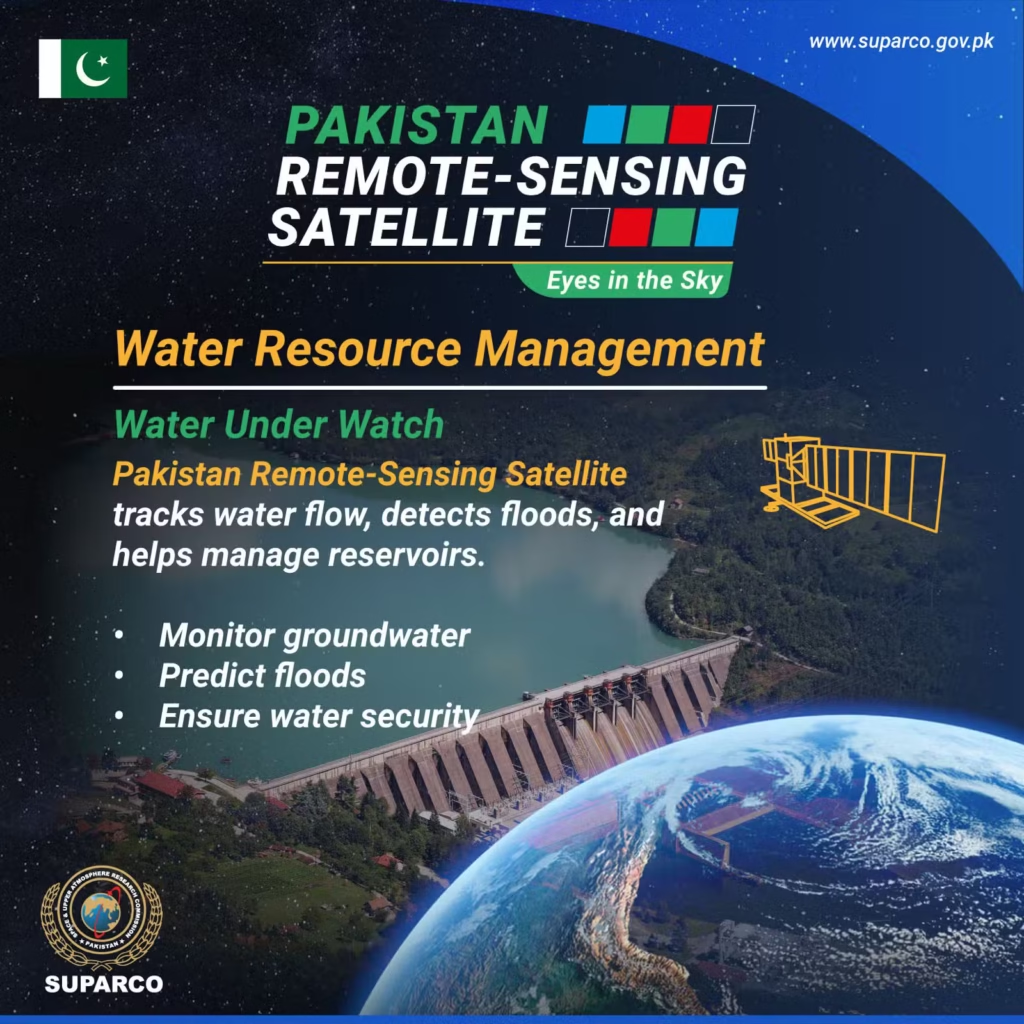
PRSS-II will play a key role in monitoring Pakistan’s water resources. It can track water flow, detect floods, and help manage reservoirs, contributing to flood prediction and long-term water security.
Agricultural and Crop Monitoring
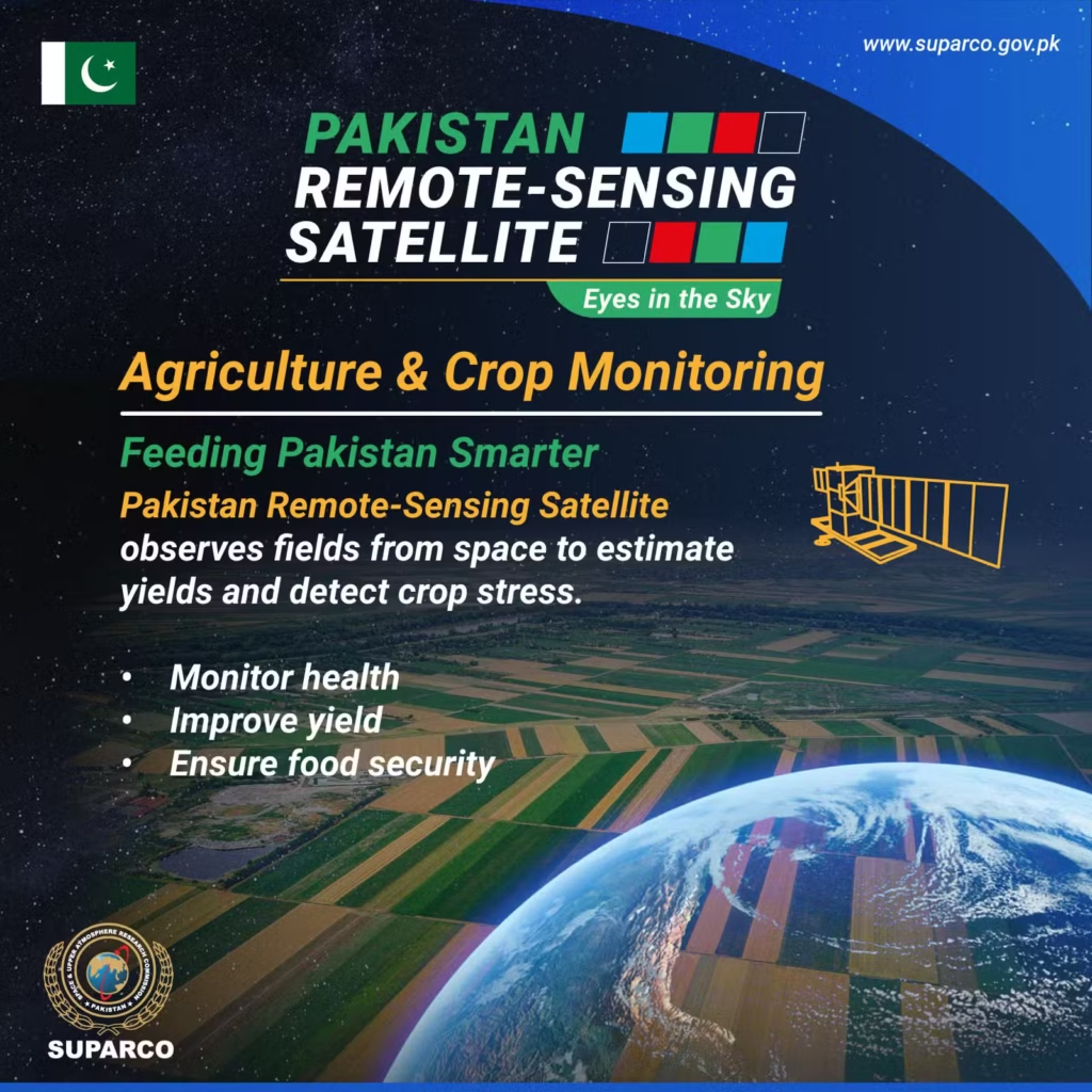
The satellite enables observation of farmlands to estimate crop yields and identify early signs of crop stress. This will support timely decision-making for improving agricultural productivity and ensuring food security.


